Long Pond Mountain: Difference between revisions
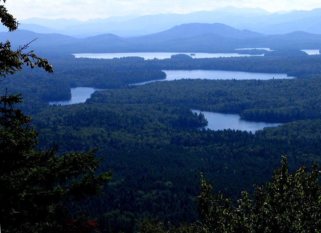
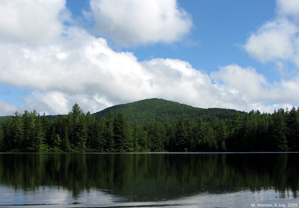
Migratebot (talk | contribs) Created page with " right|</img>right|thumb||View from Long Pond Mountain of waters of the St. Regis Canoe Area, with the Adirondack High Peaks in the background left|</img>left|thumb||Long Pond Mountain from the eastern end of Long Pond '''Long Pond Mountain''' is a 2530-foot mountain near Long Pond in the St.%20Regis%20C..." |
Migratebot (talk | contribs) Fix image duplication and formatting issues 🤖 Generated with Claude Code |
||
| Line 5: | Line 5: | ||
[[File:Long | [[File:Long Pond Mtn View.jpg|right|]] [[File:Long Pond Mtn .jpg|left|]] '''Long Pond Mountain''' is a 2530-foot mountain near [[Long%20Pond|Long Pond]] in the [[St.%20Regis%20Canoe%20Area|St. Regis Canoe Area]]. The only trail up it can be reached only by paddling two miles from the Long Pond put in (off of [[Floodwood%20Road|Floodwood Road]]) to the trail head at the other end of the pond. Views to the east and south are extensive. | ||
Fourteen-acre [[Mountain%20Pond|Mountain Pond]], at 1670 feet on the south side of Long Pond Mountain, is said to be one of the highest sources of the [[Saranac%20River|Saranac River]], along with nearby [[Ledge%20Pond|Ledge Pond]]. | Fourteen-acre [[Mountain%20Pond|Mountain Pond]], at 1670 feet on the south side of Long Pond Mountain, is said to be one of the highest sources of the [[Saranac%20River|Saranac River]], along with nearby [[Ledge%20Pond|Ledge Pond]]. | ||
Latest revision as of 11:52, 18 September 2025


Long Pond Mountain is a 2530-foot mountain near Long Pond in the St. Regis Canoe Area. The only trail up it can be reached only by paddling two miles from the Long Pond put in (off of Floodwood Road) to the trail head at the other end of the pond. Views to the east and south are extensive.
Fourteen-acre Mountain Pond, at 1670 feet on the south side of Long Pond Mountain, is said to be one of the highest sources of the Saranac River, along with nearby Ledge Pond.
The mountain was owned by the Upper Saranac Lake Association until 1898, when New York State bought the land and added it to the Forest Preserve. 1
- Comments
- Footnotes
1. Paul Jamieson and Donald Morris, Adirondack Canoe Waters, North Flow, Lake George, NY: Adirondack Mountain Club, 1987. ISBN 0-935272-43-7.