St. Regis Mountain
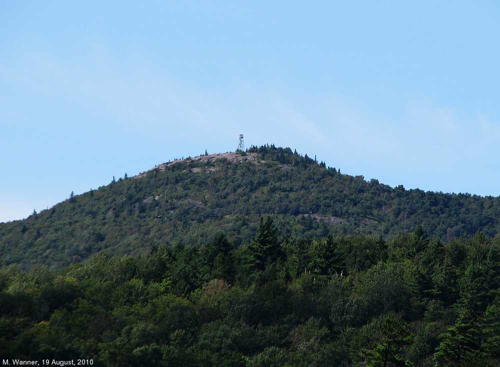
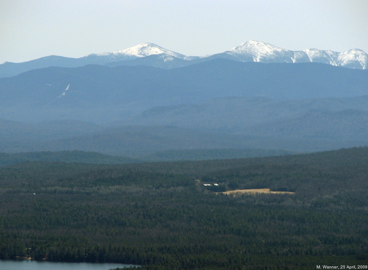

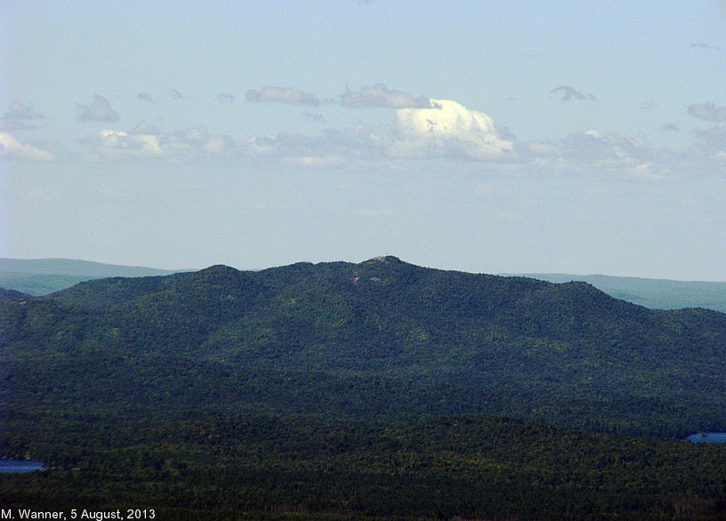
Saint Regis Mountain is a 2874-foot mountain at the center of the St. Regis Canoe Area in the town of Santa Clara.
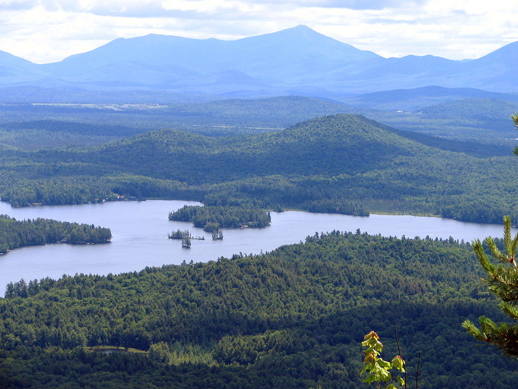
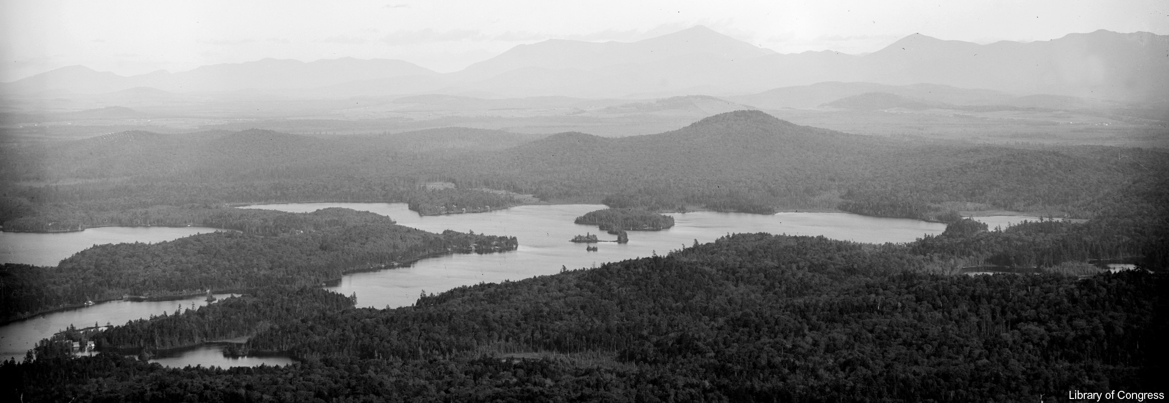
It can be climbed from a trailhead on Keese Mills Road west of Paul Smiths, or from a trail that starts at a landing on Upper Saint Regis Lake just south of Camp Topridge, a Great Camp built by [Merriweather Post]. 1 The view from the summit includes thirty lakes, including the Upper and Lower Saranac Lake, and Upper and Lower St. Regis Lake. 2
The summit is bare rock, having been cleared by a fire started accidentally by a surveying party led by Verplanck Colvin in 1876. There is a fire tower on the summit that was restored in 2016 and is now open to the public.


External links
- John Sasso, [Regis Mountain: Beyond the Fire Tower]
- [Post - Saint Regis Mountain]
- Martin Podskoch[Regis Mountain]
- Footnotes
1. McMartin, Barbara & Bill Ingersoll, Discover the Northern Adirondacks, Lake View Press, Canada Lake, NY, third edition, 2005. ISBN 1888374-26-8
2. [Post - Saint Regis Mountain]
3. This article appeared originally on [[2]] as [Regis Mountain]; its edit history there reflects its authorship. It is licensed under the [[3]]